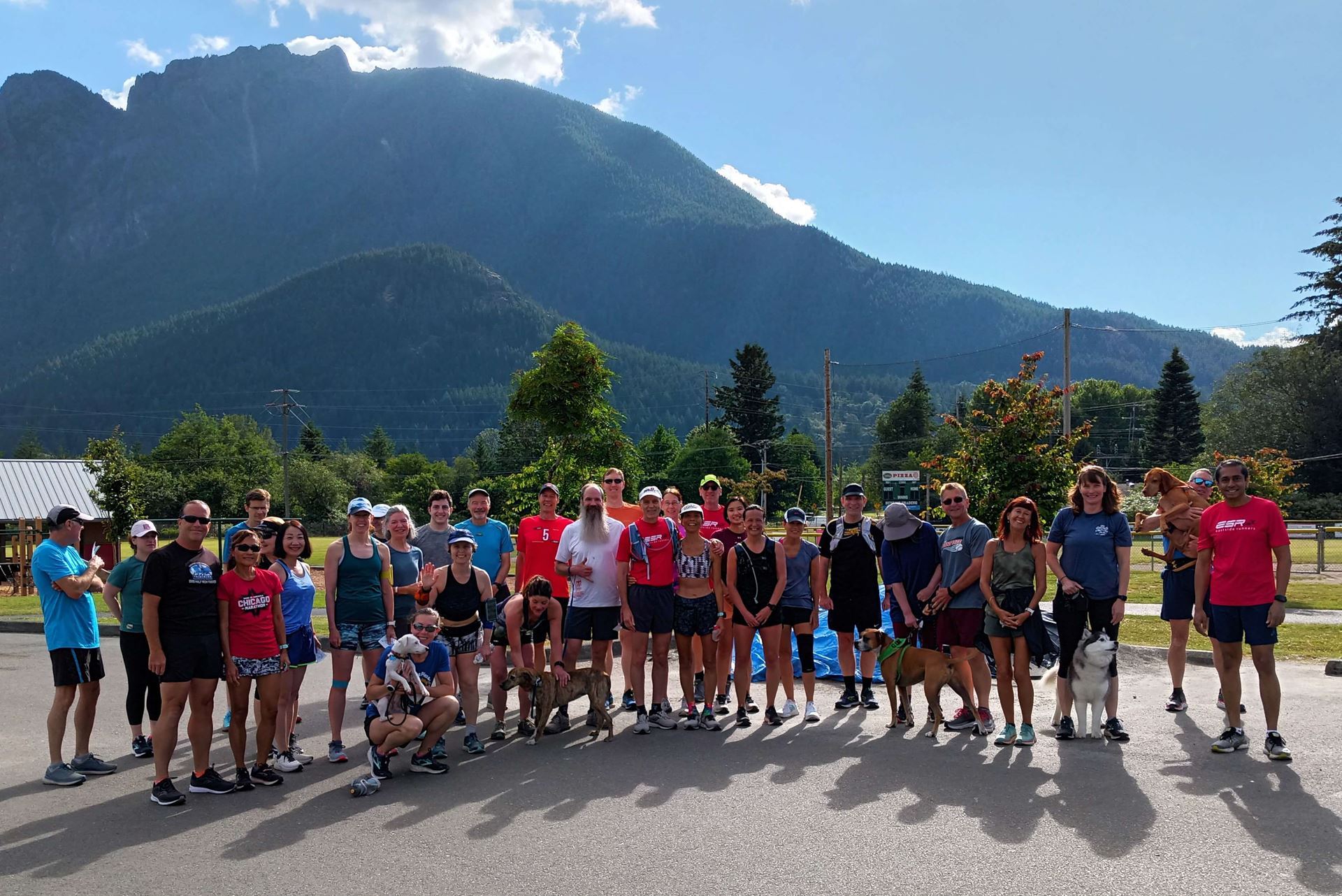
North Bend group run
Eastside Runners is a club for every kind of runner. ESR consists of individuals and families that range from walkers to recreational runners interested in socializing to serious runners interested in improving their running performance. All ages are welcome, from babes in jogging strollers to senior citizens. Whatever running pace is most comfortable for you, whether you are a beginner or veteran runner, Eastside Runners is the running club for you!

Do I need to pay to run with Eastside Runners? Many of our regular runs, such as our weekly Saturday runs, are completely open to the public. Just show up and say hi! For some runs, such as track workouts, we require you to be a member after your first couple of runs. For more information, email us with questions. You can find all of our upcoming events below.
Why should I become a member? To start, you get access to all of our runs, allowing you to meet great people, get more motivated to run, and spread the love of the sport! Being a member also gets you invited to our non-running related events, such as our not-to-be-missed semi-annual barbeques and holiday parties!
Additionally, Eastside Runners members get discounts at local running stores such as Super Jock ‘n Jill and Road Runners Sports. If you buy multiple running shoes in a year, the membership pays for itself! For more information, please visit the Membership Benefits page.
Lastly, your membership goes a long way in sustaining one of the largest and oldest running communities in the Eastside! We are a completely volunteer-run nonprofit and dues-paying members help us maintain our digital and organizational infrastructure.